Description
Hiking | Route 7 | Muntanya blanca, Mont-roig's viewpoint
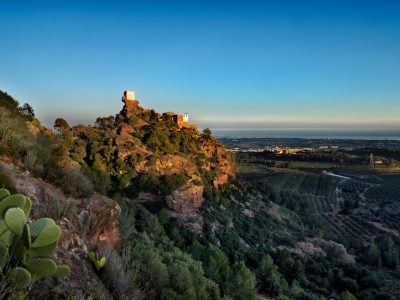
Muntanya Blanca is Mont-roig’s highest point, it is a mountain range located as a buttress of its big sisters, Serra de Llaberia and Mola de Colldejou. At its highest point, Molló dels Quatre Termes, the municipal areas of Pratdip, Colldejou, Vilanova d’Escornalbou and Mont-roig come together, and it offers privileged views over Mont-roig, the mountain of L’Areny crowned by the Mare de Déu de la Roca hermitage and Costa Dorada. From this peak, you also see the peaks of La Mola de Colldejou (922 m) and Miranda de Llaberia (918 m) where one of Catalonia’s 4 weather radars is located.
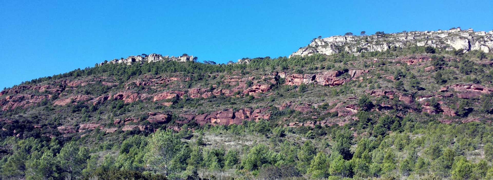
Muntanya Blanca owes its name to calcareous rock, where the typical phenomenon of karstification occurs, that is, rock dilution, which causes the appearance of numerous caves and crevasses, such as L’Avenc del Pla, near Molló dels Quatre Termes, about 31 metres deep.
Distance: 17 km
Length time: 5 h
Total slopes: + 500 m
Difficulty: medium
Download: Track Ruta